
Forecasters are monitoring a weather disturbance in the southwestern Gulf of Mexico that is producing disorganized showers and thunderstorms. According to the National Hurricane Center, the system has a 30% chance of development within two days and a 70% chance within seven days, with a tropical depression likely to form during the middle or latter part of the week. [1] [2]
Computer forecast and AI models currently disagree on whether the system will form, how it will track, or whether it will pull toward the northern Gulf Coast or remain farther south. Marine conditions are expected to worsen with a Small Craft Advisory in effect as northeast winds increase, and Hurricane Hunter reconnaissance is scheduled for Wednesday if necessary. [1] [2]
Regardless of tropical development, increasing tropical moisture and a cold front draped over the region could bring heavy rain and potential flooding threats to parts of the Florida, Louisiana, and Mississippi coasts late this week into the weekend. [1] [2]
Sources
- Tropical trouble shifts closer to home as new disturbance could drench parts of the Gulf Coast — 2026-10-04T12:54:39-04:00
- Gulf development chances rise to 70%; Louisiana, Mississippi impacts uncertain — 2026-10-05T12:35:00Z
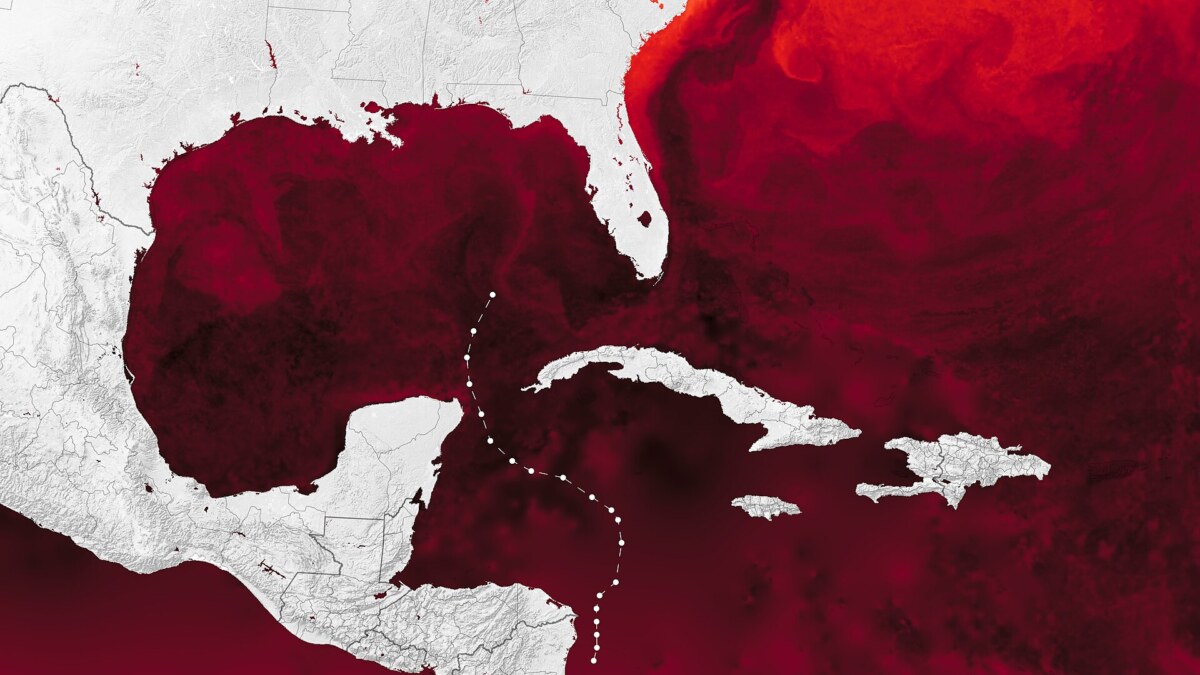
Featured image: File:Ocean Heat for Hurricane Helene (153376 – hurricanehelene mur 20240926 lrg).jpg by NASA Earth Observatory images by Wanmei Liang, using data from the Multiscale Ultrahigh Resolution (MUR) project, VIIRS data from NASA EOSDIS LANCE, GIBS/Worldview, and the Joint Polar Satellite System (JPSS), and storm track data from NOAA's National Hurricane Center. Story by Adam Voiland. / Public domain. Licensed image; cropped or resized for display.